| Home > Maps > Okaloosa County | |
Click on a thumbnail image to view a full size version of that map.
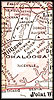
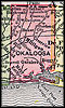
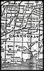
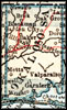
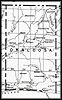
Okaloosa County is Florida's 52nd county, established on June 13, 1915, from segments of Santa Rosa County and Walton County. It gains its name from the Choctaw Indian words for the Blackwater River that runs through the county (oka meaning water and lusa meaning black). Crestview is the county seat.
For earlier maps of this area, visit the Santa Rosa County and Walton County map galleries.
| Home > Maps > Okaloosa County |
Exploring
Florida: A Social Studies Resource for Students and Teachers
Produced by the Florida Center for Instructional
Technology,
College of Education, University of South Florida © 2004.