|
|
|
| FL Maps > Local > Brevard |
Click on a thumbnail image to view a full size version of that map.
|
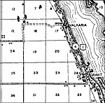
Valkaria,
1936 |
|
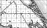
Wilson,
1936 |
|
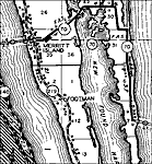
Merritt Island,
1936 |
|
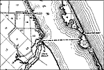
Micco,
1936 |
|
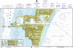
Port Canaveral,
1975 |
|
Canaveral Barge Canal Extension,
1975 |
|
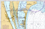
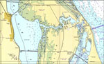
Cape Canaveral,
1977 |
|
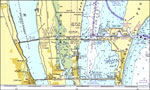
Merritt Island,
1977 |
|
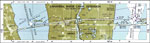
Titusville,
1977 |
|
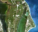
Kennedy Space Center from Landsat 7,
June 3, 1999 |
|
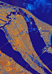
Cape Canaveral Area,
October 4, 1994 |
|
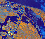
Kennedy Space Center,
October 4, 1994 |
| First | Previous |
| FL Maps > Local > Brevard |
Maps ETC
is a part of the
Educational Technology Clearinghouse
Produced by the
Florida Center for Instructional Technology
© 2007
College of Education
,
University of South Florida