|
|
|
| FL Maps > Local > Hardee |
Click on a thumbnail image to view a full size version of that map.
|
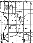
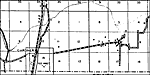
Bowling Green,
1936 |
|
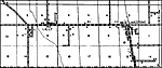
Crewsville,
1936 |
|
Ft. Green,
1936 |
|
Gardner,
1936 |
|
Lilly,
1936 |
|
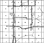
Moffitt,
1936 |
|
Ona,
1936 |
|
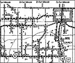
Torrey,
1936
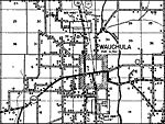
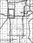
Wauchula,
1936 |
|
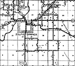
Zolfo Springs,
1936 |
| FL Maps > Local > Hardee |
Maps ETC
is a part of the
Educational Technology Clearinghouse
Produced by the
Florida Center for Instructional Technology
© 2007
College of Education
,
University of South Florida