|
|
|
| FL Maps > Local > Seminole |
Click on a thumbnail image to view a full size version of that map.
|
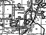
Altamonte Springs,
1936 |
|
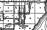
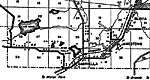
Cameron City,
1936 |
|
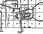
Chuluota,
1936 |
|
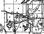
Forest City,
1936 |
|
Gabriella,
1936 |
|
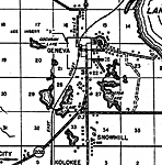
Geneva,
1936 |
|
Longwood,
1936 |
|
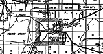
Oviedo,
1936 |
|
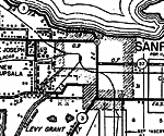
Sanford,
1936 |
|
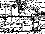
St. Joseph,
1936 |
|
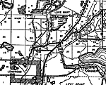
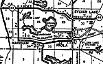
Sylvan Lake,
1936 |
|
Sylvan Lake 2,
1936 |
| FL Maps > Local > Seminole |
Maps ETC
is a part of the
Educational Technology Clearinghouse
Produced by the
Florida Center for Instructional Technology
© 2007
College of Education
,
University of South Florida