| Home > Maps > Clay City and Local > Doctors Inlet, 1940 | |
|
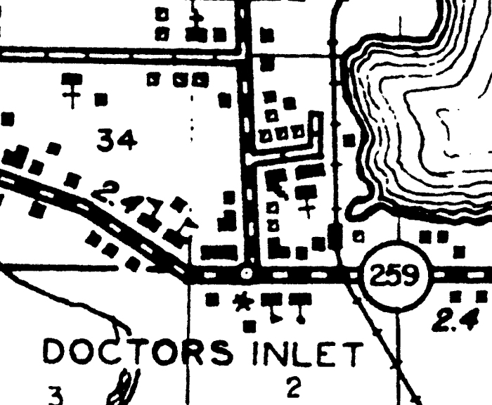
1940,
Doctors Inlet, Florida. Detail view from a General Highway and Transportation map of Clay County, Florida prepared by the Florida State Road Department, Division of Research and Records in cooperation with the Federal Works Agency, Public Roads Administration.
Key to Florida highway maps.
|
| Map Credit: Courtesy of the Pennsylvania State University Libraries Map Library.
|
| Home > Maps > Clay City and Local > Doctors Inlet, 1940 |
Exploring Florida: A Social Studies Resource for Students and Teachers
Produced by the Florida Center for Instructional Technology,
College of Education, University of South Florida © 2004.