| Home > Maps > Duval City and Local > Jacksonville, 1920 | |
|
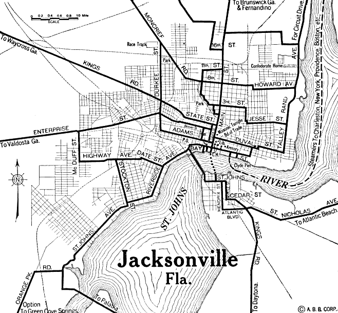
A
map of Jacksonville from 1920 as seen in the Automobile Blue Book,
showing roads and bodies of water
|
|
Map Credit: Courtesy of The General Libraries, The University of Texas at Austin.
|
| Home > Maps > Duval City and Local > Jacksonville, 1920 |
Exploring
Florida: A Social Studies Resource for Students and Teachers
Produced by the Florida Center for Instructional
Technology,
College of Education, University of South Florida © 2002.