| Home > Maps > Leon City and Local Maps > Aerial View of Tallahassee, 1926 > Tallahassee Detail | |
|
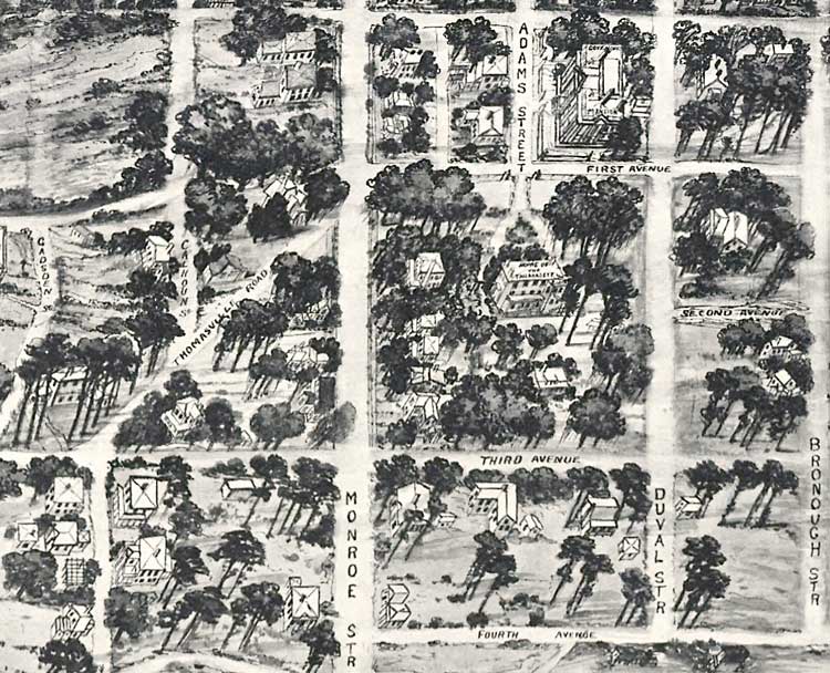
Tallahassee Detail. Area bounded by Brevard Street, Bronough Street, Fourth Avenue, and Thomasville Road. Also includes Adams Street, First Avenue, Second Avenue, Third Avenue, and the Governor's Mansion.
|
|
Map Credit: Courtesy of the Library of Congress.
|
| Home > Maps > Leon City and Local Maps > Aerial View of Tallahassee, 1926 > Tallahassee Detail |
Exploring
Florida: A Social Studies Resource for Students and Teachers
Produced by the Florida Center for Instructional
Technology,
College of Education, University of South Florida ©2004.