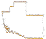
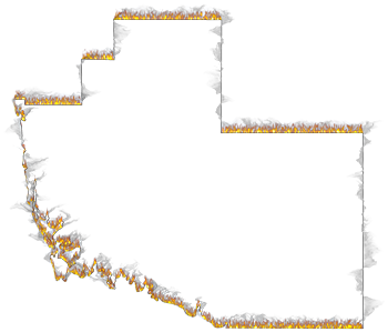
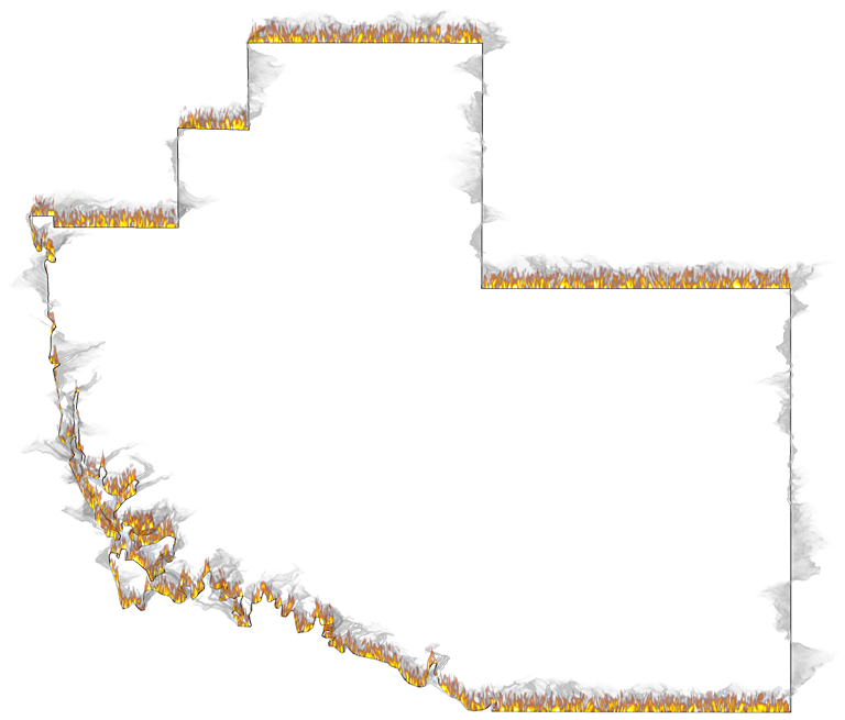
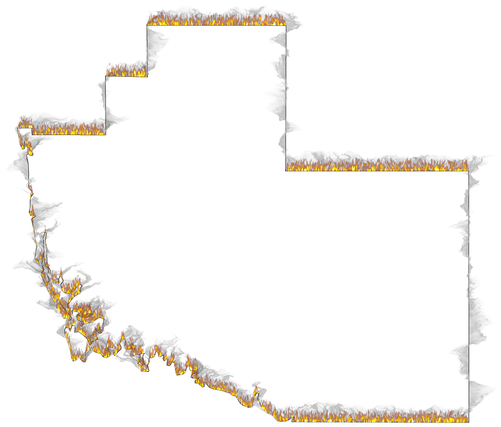
Description: A flame and smoke outline map of Collier. Suitable for the following themes: forest fires, controlled burns, fire safety, heat, temperature. These maps are in the PNG format. The map area itself is transparent so it can be layered over another photo and the photo will take the shape of the map. Use them on your Web pages or in presentations.
Keywords: Collier, borders, frame map, transparent map, outline map of Collier, PNG
Source: Florida Center for Instructional Technology, Exploring Florida Maps (Tampa, FL: University of South Florida, 2008)
Map Credit: Florida Center for Instructional Technology, University of South Florida. |