| Home > Photos > Environment > Islands > Eastern end of Summerland Key | |
|
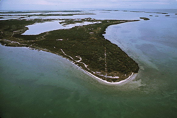
A color, aerial photo taken in June 1973 of the eastern end of Summerland Key, as yet undeveloped.
|
|
Photo
credit: Environmental Protection Agency, Still Pictures Branch, National
Archives at College Park. Image enhancement by FCIT.
|
| Home > Photos > Environment > Islands > Eastern end of Summerland Key |
Exploring
Florida: A Social Studies Resource for Students and Teachers
Produced by the Florida Center for Instructional
Technology,
College of Education, University of South Florida © 2002.