|
|
|
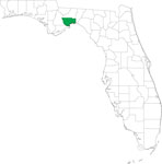
| FL Maps > County > Wakulla |
Click on a thumbnail image to view a full size version of that map.
Wakulla County is Florida's 23rd county, established on March 11, 1843, from a segment of Leon County. The origins of its name is unknown, except that it probably comes from a Timucuan word. Crawfordville is the county seat.
For earlier maps of this area, visit the Leon County map gallery.

|
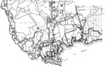
Wakulla County,
1932 |
|
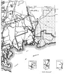
Wakulla,
1936 |
|
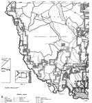
East Wakulla,
1936 |
|
West Wakulla,
1936 |
|
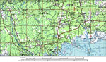
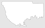
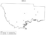
Wakulla County,
1988 |
|
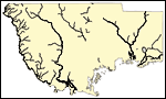
Locater Map of Wakulla County,
2008 |

|
Clipart Collection: Wakulla County Maps in 50 Colors,
2008 |
|
Plain Frames Collection: Wakulla County Maps in 30 Colors,
2008 |
|
Fancy Frames Collection: Wakulla County Maps in 30 styles,
2008 |

|
Florida Photo Collection: Wakulla County Maps in 30 styles,
2008 |
|
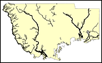
Florida Waterways: Wakulla County Outline,
2008 |
|
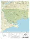
Florida Waterways: Wakulla County ,
2008 |
|
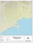
Sinkholes of Wakulla County, Florida ,
2008 |
|
Florida Waterways: Wakulla County Outline without Labels,
2008 |

|
Wakulla "Abstract" Style Maps in 30 Styles,
2008 |

|
Wakulla County "Fun" Maps in 30 Styles,
2008 |
|
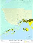
Florida Seagrass: Wakulla,
2008 |

|
Wakulla County Cities with Labels,
2009 |
|
Wakulla County Cities Outline,
2009 |
|
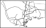
Wakulla County Road Network- Black and White,
2009 |

|
Wakulla County Railway Network- Black and White,
2009 |
|
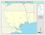
Wakulla County Railway Network- Color,
2009 |
|
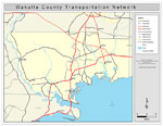
Wakulla County Road Network- Color,
2009 |
| First | Previous |
| FL Maps > County > Wakulla |
Maps ETC
is a part of the
Educational Technology Clearinghouse
Produced by the
Florida Center for Instructional Technology
© 2007
College of Education
,
University of South Florida