|
|
|
| FL Maps > County > St. Lucie |
Click on a thumbnail image to view a full size version of that map.
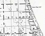
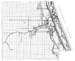
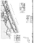
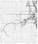
St. Lucie County is Florida's 46th county, established on May 24, 1905, from a segment of Brevard County. It gains its name from St. Lucie of Syracuse. According to legend she was executed in A.D. 304 for being a Christian and has become associated with prayers against blindness. Fort Pierce is the county seat.
For earlier maps of this area, visit the Brevard County map gallery.
|
St. Lucie County,
1850 |
|
St. Lucie County,
1850 |
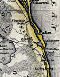
|
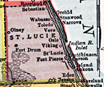
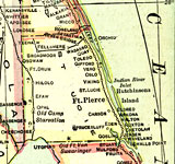
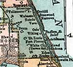
St. Lucie County,
1907 |
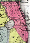
|
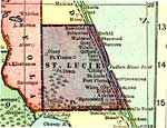
St. Lucie County,
1909 |
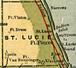
|
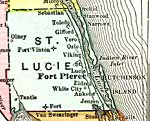
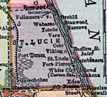
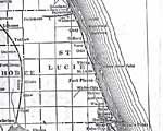
St. Lucie County,
1910 |
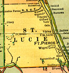
|
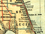
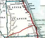
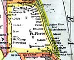
St. Lucie County,
1911 |
|
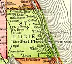
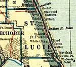
St. Lucie County,
1911 |
|
St. Lucie County,
1914 |
|
St. Lucie County,
1916 |
|
St. Lucie County,
1916 |
|
St. Lucie County,
1917 |
|
St. Lucie County,
1917 |
|
St. Lucie County,
1920 |
|
St. Lucie County,
1920 |
|
St. Lucie County,
1921 |
|
St. Lucie County,
1921 |
|
St. Lucie County,
1932 |
|
St. Lucie,
1936 |
|
East St. Lucie,
1936 |
|
West St. Lucie,
1936 |
|
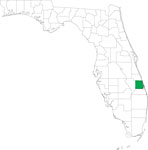
Locater Map of St. Lucie County,
2008 |

|
Clipart Collection: St. Lucie County Maps in 50 Colors,
2008 |

|
Plain Frames Collection: St. Lucie County Maps in 30 Colors,
2008 |

|
Fancy Frames Collection: St. Lucie County Maps in 30 styles,
2008 |

|
Florida Photo Collection: St. Lucie County Maps in 30 styles,
2008 |
| Next | Last |
| FL Maps > County > St. Lucie |
Maps ETC
is a part of the
Educational Technology Clearinghouse
Produced by the
Florida Center for Instructional Technology
© 2007
College of Education
,
University of South Florida