| Home > Maps > Columbia County > 1865 Map | |
|
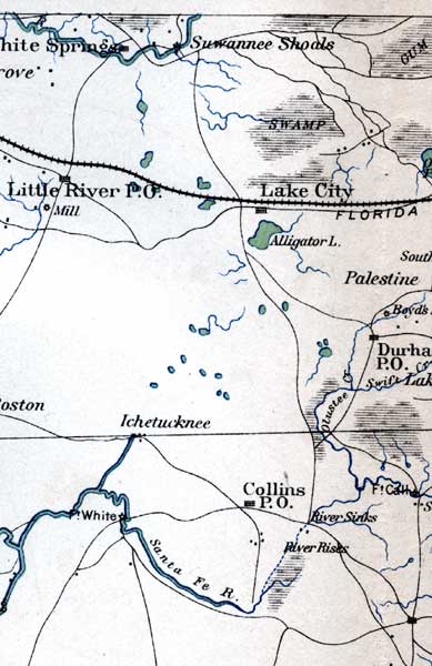
1865, General Topographical Map Sheet XI, Atlas to Accompany the Official Records of the Union and Confederate Armies.
|
| Map Credit: Courtesy of the private collection of Roy Winkelman. |
| Home > Maps > Columbia County > 1865 Map |
Exploring Florida: A Social Studies Resource for Students and Teachers
Produced by the Florida Center for Instructional Technology,
College of Education, University of South Florida © 2003.