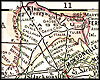
|
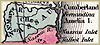
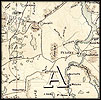
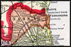
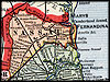
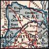
circa 1825, Geographical, Statistical, and Historical Map of Florida. |
|
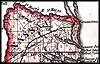
1832, I.T. Hinton & Simpkin & Marshall map. |
|
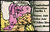
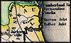
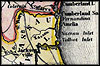
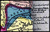
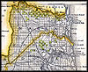
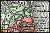
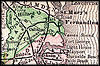
1834, Hand colored map of Florida published in 1834 with inserts
of Mobile Bay, Perdido and Pensacola Bays, and Espirito Santo Bay (including
Tampa and Hillsboro Bays). |
|
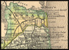
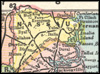
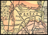
1835, Map of Florida. |
|
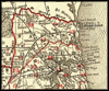
1839, Map of Florida that was, "Entered according to Act of Congress
in the year 1839 by H. S. Tanner in the clerks office of the eastern
district of Pennsylvania." |

|
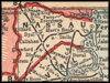
1842, Green Leaf map. |
|
1845, Aus der Gravisanstalt des Bibliographischan Instituts zu.
Hillsburghaus Amsterdam Paris u. Philadelphia map. |
 |
1845,
Sidney E. Morse map. |
|
1850, Aus der Gravisanstalt des Bibliographischan Instituts zu.
Hillsburghaus Amsterdam Paris u. Philadelphia map. |
|
1850, Map of Florida, published by Thomas, Cowperthwait & Co. |
|
1856, Survey map. |
|
1857, Gaston map. |
 |
1859,
Surveyor General map. |

|
1863, Johnson & Ward map. |

|
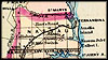
1863, Map of Florida that was, "Entered according to Act of Congress
in the year 1863 by A. J. Johnson in the clerks office of the District
Court of the United States for the Southern District of New York." |
|
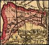
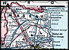
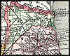
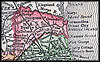
1864, "Northern Part of Florida compiled and published at the
United States Coast Survey Office." |
|
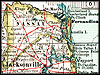
1873, Map of Florida. |
|
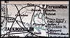
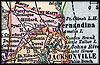
1874, Drew's New Map of the State of Florida, published by Columbus
Drew, Jacksonville. |
|
1877, Map of Florida that was, "Entered according to Act of Congress
in the year 1877 by Asher and Adams...." |
|
1880, Map of Florida. |
|
1880, Rand, McNally & Company map. |
 |
1882,
Colton & Company map. |
| 
|
1883,
Phillips and Hunt map. |
|
1886, Geo.F.Cram Engraver & Publisher map. |
|
1888, A new sectional map of Florida issued by the land department
of the South Florida R.R. Co. and the Plant Investment Co., Sanford,
Florida. |
|
1888, "New sectional map of the eastern and southeastern portion
of the state of Florida. Issued by the land department of the Florida
Southern Railway Company. Showing the lands, owned and offered for sale
by said department." |
|
1888, Rand, McNally & Company map. |
|
1890, George F. Cram map. |
|
1890, Rand, McNally & Company map. |
|
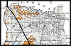
1890s, Map of Florida created during the 1890s that also indicates
train routes of various rail companies. |
| 
|
1892,
Rand, McNally & Company map. |
 |
1893,
George F. Cram map. |
|
1894, Rand, McNally & Company map. |
|
1897, The Century Atlas. |
 |
1898,
John W. Iliff and Company map. |
|
1898, Rand, McNally & Co.'s New Business Atlas Map of Florida. |
|
1899, Published by George F. Cram, Chicago. |
 |
1900,
Mast, Crowell & Kirkpatrick map. |
 |
1900,
Rand, McNally & Company map. |
|
1900, Unrivaled Atlas of the World, published by Philadephia Public
Ledger. |
|
1902, George F. Cram map. |
|
1904, Wagner & Debes Geog. Estab. Leipzig; published in Baedeker's
"The United States with an Excursion into Mexico." |
 |
1904,
Tunison's map. |
 |
1907,
Dodd, Meed and Company map. |
|
1910, Hammond map. |
|
1910, Rand-McNally. |
|
1911, Rand, McNally & Company map. |
 |
1914,
Collier map. |
|
1916, National Map Company map. |
|
1916, The New Reference Atlas of the World, published by C. S. Hammond
& Company. |
|
1917, Rand, McNally & Company map. |
|
1920, US Railroad Administration map. |
|
1921, L.L. Poates Co. map. |
|
1932, United States Geological Survey. |