|
|
|
| FL Maps > County > Baker |
Click on a thumbnail image to view a full size version of that map.
Baker County is Florida's 38th county, established on February 8, 1861, from a segment of New River County (Bradford County). It gains its name from James McNair Baker, a Judge of the Fourth Judicial District and a Confederate Senator. Macclenny is the county seat. Of historical significance, a famous Civil War battle took place just to the east of the town of Olustee on February 20, 1864. This particular battle was a Confederate victory that prevented the capture of the state capital.
For earlier maps of this area, visit the New River County (Bradford County) map gallery.
|
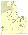
Florida Waterways: Baker County Outline,
2008 |
|
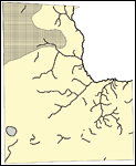
Florida Waterways: Baker County Outline without Labels,
2008 |
|
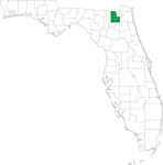
Locater Map of Baker County,
2008 |

|
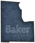
Clipart Collection: Baker County Maps in 50 Colors,
2008 |

|
Plain Frames Collection: Baker County Maps in 30 Colors,
2008 |

|
Fancy Frames Collection: Baker County Maps in 30 styles,
2008 |

|
Florida Photo Collection: Baker County Maps in 30 styles,
2008 |
|
Florida Waterways: Baker County ,
2008 |

|
Baker "Abstract" Style Maps in 30 Styles,
2008 |
|
Baker County "Fun" Maps in 30 Styles,
2008 |
|
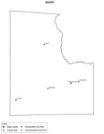
Baker County Cities with Labels,
2009 |
|
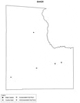
Baker County Cities Outline,
2009 |
|
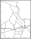
Baker County Road Network- Black and White,
2009 |
|
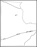
Baker County Railway Network- Black and White,
2009 |
|
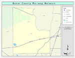
Baker County Railway Network- Color,
2009 |
|
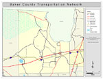
Baker County Road Network- Color,
2009 |
| First | Previous |
| FL Maps > County > Baker |
Maps ETC
is a part of the
Educational Technology Clearinghouse
Produced by the
Florida Center for Instructional Technology
© 2007
College of Education
,
University of South Florida