|
|
|
| FL Maps > County > Clay |
Click on a thumbnail image to view a full size version of that map.
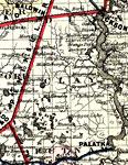
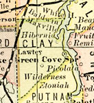
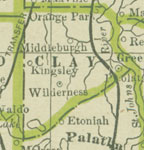
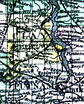
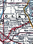
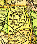
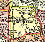
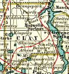
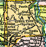
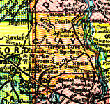
Clay County is Florida's 37th county, established on December 31, 1858, from a segment of Duval County. It gains its name from Henry Clay, Secretary of State for President John Quincy Adams. Green Cove Springs is the county seat. Found in this location are some sulphur springs that have been said to be those that Ponce de León was searching for.
For earlier maps of this area, visit the Duval County map gallery.
|
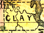
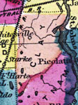
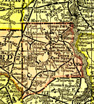
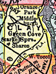
Clay County,
1860 |
|
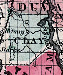
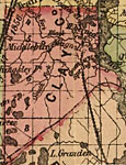
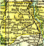
Clay County,
1860 |
|
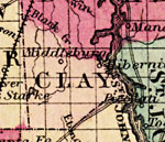
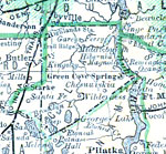
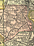
Clay County,
1863 |
|
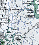
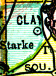
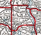
Clay County,
1865 |
|
Clay County,
1873 |
|
Clay County,
1874 |
|
Clay County,
1880 |
|
Clay County,
1880 |
|
Clay County,
1882 |
|
Clay County,
1883 |
|
Clay County,
1886 |
|
Clay County,
1886 |
|
Clay County,
1888 |
|
Clay County,
1888 |
|
Clay County,
1889 |
|
Clay County,
1890 |
|
Clay County,
1890 |
|
Clay County,
1890 |
|
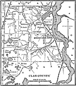
Clay County,
1892 |
|
Clay County,
1893 |
|
Clay County,
1894 |
|
Clay County,
1895 |
|
Clay County,
1897 |
|
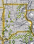
Clay County,
1898 |
|
Clay County,
1898 |
| Next | Last |
| FL Maps > County > Clay |
Maps ETC
is a part of the
Educational Technology Clearinghouse
Produced by the
Florida Center for Instructional Technology
© 2007
College of Education
,
University of South Florida