|
|
|
| FL Maps > County > Orange |
(Formerly Mosquito County, 1824-1845)
Click on a thumbnail image to view a full size version of that map.
Orange County is Florida's 11th county, established on December 29, 1824, from a segment of St. Johns County. It was originally named Mosquito county after the name the Spanish had given the entire coast, "Los Mosquitos." On January 30, 1845, the Territorial Council approved the name change to Orange County, after all the orange groves in the area. Orlando is the county seat.
For earlier maps of this area, visit the St. Johns County map gallery.
|
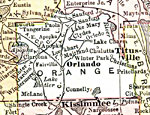
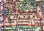
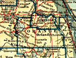
Orange County,
1911 |
|
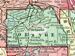
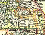
Orange County,
1911 |
|
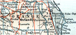
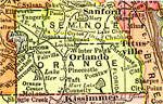
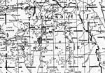
Orange County,
1914 |
|
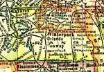
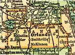
Orange County,
1916 |
|
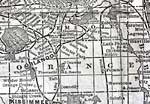
Orange County,
1916 |

|
Orange County,
1917 |
|
Orange County,
1917 |
|
Orange County,
1920 |
|
Orange County,
1920 |
|
Orange County,
1921 |
|
Orange County,
1921 |
|
Orange County,
1932 |
|
Stormwater Drains, Winter Park Chain of Lakes,
1995 |

|
Reported Septic Tank Locations, Winter Park Chain of Lakes,
1995 |

|
Orange EPA Superfund Sites,
2008 |
|
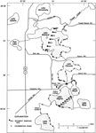
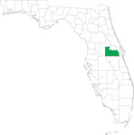
Locater Map of Orange County,
2008 |

|
Clipart Collection: Orange County Maps in 50 Colors,
2008 |

|
Plain Frames Collection: Orange County Maps in 30 Colors,
2008 |

|
Fancy Frames Collection: Orange County Maps in 30 styles,
2008 |

|
Florida Photo Collection: Orange County Maps in 30 styles,
2008 |
|
Florida Waterways: Orange County Outline,
2008 |
|
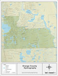
Florida Waterways: Orange County ,
2008 |
|
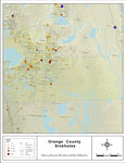
Sinkholes of Orange County, Florida ,
2008 |

|
Florida Waterways: Orange County Outline without Labels,
2008 |

|
Orange "Abstract" Style Maps in 30 Styles,
2008 |
| First | Previous | Next | Last |
| FL Maps > County > Orange |
Maps ETC
is a part of the
Educational Technology Clearinghouse
Produced by the
Florida Center for Instructional Technology
© 2007
College of Education
,
University of South Florida