|
|
|
| FL Maps > County > Taylor |
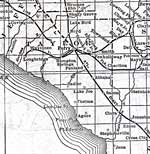
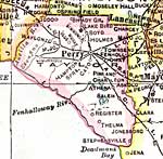
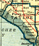
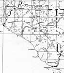
Click on a thumbnail image to view a full size version of that map.
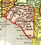
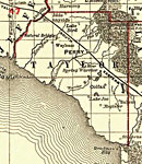
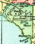
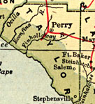
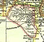
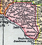
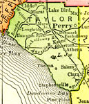
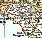
Taylor County is Florida's 34th county, established on December 23, 1856, from a segment of Madison County. It gains its name from Zachary Taylor, the 12th President of the United States (1849-1850), who commanded forces during the Second Seminole War. Perry, originally called Rosehead by Native Americans and then later (1875) renamed Perrytown after Governor Stark Perry, is the county seat.
For earlier maps of this area, visit the Madison County map gallery.
|
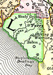
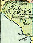
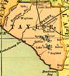
Taylor County,
1894 |
|
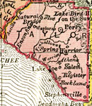
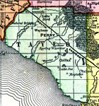
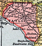
Taylor County,
1895 |
|
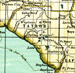
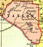
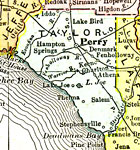
Taylor County,
1897 |
|
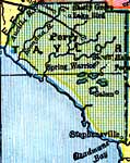
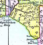
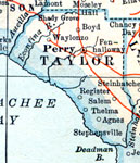
Taylor County,
1898 |
|
Taylor County,
1898 |
|
Taylor County,
1898 |
|
Taylor County,
1899 |
|
Taylor County,
1900 |
|
Taylor County,
1900 |
|
Florida Railroads - Taylor County,
1900 |
|
Taylor County,
1904 |
|
Taylor County,
1907 |
|
Taylor County,
1909 |
|
Taylor County,
1910 |
|
Taylor County,
1911 |
|
Taylor County,
1914 |
|
Taylor County,
1916 |
|
Taylor County,
1916 |
|
Taylor County,
1917 |
|
Taylor County,
1920 |
|
Taylor County,
1920 |
|
Taylor County,
1921 |
|
Taylor County,
1921 |
|
Taylor County,
1932 |
|
Taylor,
1936 |
| First | Previous | Next | Last |
| FL Maps > County > Taylor |
Maps ETC
is a part of the
Educational Technology Clearinghouse
Produced by the
Florida Center for Instructional Technology
© 2007
College of Education
,
University of South Florida