|
|
|
| FL Maps > Local > Citrus |
Click on a thumbnail image to view a full size version of that map.
|
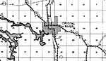
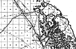
Crystal River,
1936 |
|
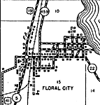
Floral City,
1936 |
|
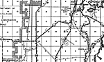
Floral City 2,
1936 |
|
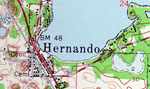
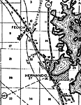
Hernando,
1936 |
|
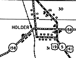
Holder,
1936 |
|
Holder 2,
1936 |
|
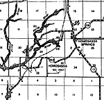
Homosassa,
1936 |
|
Homosassa 2,
1936 |
|
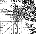
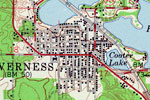
Inverness,
1954 |
|
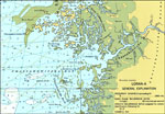
Crystal River,
1975 |
|
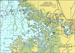
Chassahowitzka River,
1977 |
|
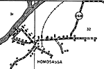
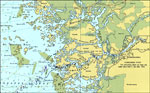
Homosassa River,
1977 |
| FL Maps > Local > Citrus |
Maps ETC
is a part of the
Educational Technology Clearinghouse
Produced by the
Florida Center for Instructional Technology
© 2007
College of Education
,
University of South Florida