|
|
|
| FL Maps > Local > Lee |
Click on a thumbnail image to view a full size version of that map.
|
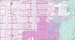
Ft. Myers SW Detail 4,
1987 |
|
Bayshore,
1987 |
|
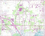
Salvista,
1987 |
|
Fort Myers Detail,
1987 |
|
Ft. Myers Detail 2,
1987 |
|
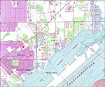
North Fort Myers,
1987 |
|
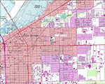
Cape Coral,
1987 |
| First | Previous |
| FL Maps > Local > Lee |
Maps ETC
is a part of the
Educational Technology Clearinghouse
Produced by the
Florida Center for Instructional Technology
© 2007
College of Education
,
University of South Florida