| Home > Maps > Outline Maps | |
These maps will photocopy well and are appropriate for many types of class activities. Choose the map you wish by clicking on the appropriate icon of the map you are interested in.
All of the maps on this page are in PDF (Portable Document Format) and are sized to print on regular letter-sized paper.
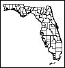
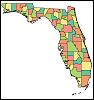
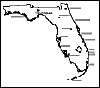
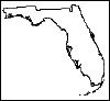
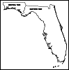
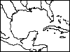
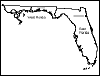
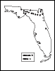
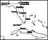
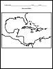
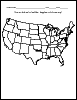
A black and white map of Florida's counties. A color map of Florida's counties. A map of Florida's major highways and interstates. A map of Florida's principle cities. A blank outline of the state of Florida. A map of Florida's two time zones. A map of the Gulf of Mexico. This map shows the old boundaries of East and West Florida. Route of de Soto through Florida. Location of Spanish missions and forts in Florida. Major colleges and universities in Florida. Map of Florida and Cuba showing Florida cities important to the Spanish-American War effort. Route of Narvaez through Florida. Student activity map for Transfer of Florida unit. Students draw boundaries of West Florida on map of current S.E. United States. Student activity map for Sir Francis Drake unit. Students locate select cities on map of the Caribbean. Student activity map for use with Civil War unit. Students identify Union States, Confederate States, and territories on current map of 48 contiguous states.
| Home > Maps > Outline Maps |
Exploring
Florida: A Social Studies Resource for Students and Teachers
Produced by the Florida Center for Instructional
Technology,
College of Education, University of South Florida © 2002.