| Home > Photos > Transportation | |
The images in this section have been grouped into 12 galleries. Click on a thumbnail photo to view all of the images in that gallery.
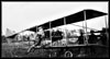
Air. Historic photographs of planes and airports. (15 photographs)
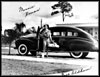
Automobiles. Photographs of cars from the early and mid 1900s. (15 photographs)
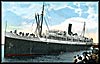
Boats. This section includes 2 galleries featuring air boats, cruise ships, and steamers. (13 photographs)
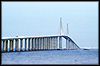
Bridges. Photographs of the Lafayette Street Bridge and the Sunshine Skyway bridge. (5 photograph)
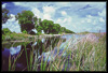
Canals. Includes images of the Tamiami Canal, Black Creek Canal, and others. (4 photographs)
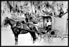
Horse. Photographs of horses harnessed to carts and wagons. (9 photographs)
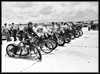
Miscellaneous. Photographs of bicycles and a bus station. (4 photographs)
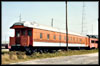
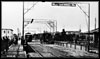
Railroad I. Photographs of trains, stations, and railroad construction. (20 photographs)
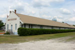
Railroad II. Photographs of trains, freight stations, and railroad construction in Live Oak, Florida. (12 photographs)
Roads and Highways. Photographs of a variety of roads in Florida. (14 photographs)
Street Cars. Photographs of street cars and stations. (6 photographs)
| Home > Photos > Transportation |
Exploring
Florida: A Social Studies Resource for Students and Teachers
Produced by the Florida Center for Instructional
Technology,
College of Education, University of South Florida © 2002.