| Home > Maps > 1600s > Florida Keys 1670 | |
|
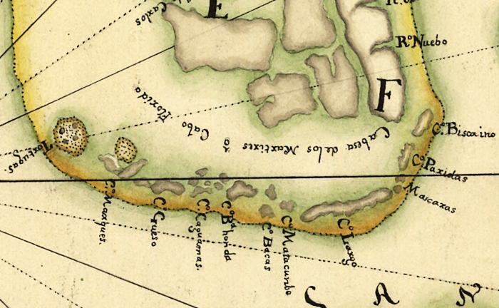
Detailed
view of a map created in 1914 showing Spanish territory in the Florida
Keys as defined by a treaty made in 1670.
|
|
Map Credit: Courtesy of the Library of Congress, Geography and Map Division.
|
| Home > Maps > 1600s > Florida Keys 1670 |
Exploring
Florida: A Social Studies Resource for Students and Teachers
Produced by the Florida Center for Instructional
Technology,
College of Education, University of South Florida © 2002.