| Home > Maps > 1800s > Florida 1806 | |
|
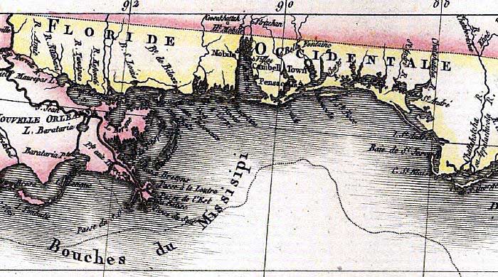
1806,
A map of the West Indies and of the Mexican-Gulph [sic].
|
|
Map Credit: Courtesy of the Library of Congress, Geography and Map Division.
|
| Home > Maps > 1800s > Florida 1806 |
Exploring
Florida: A Social Studies Resource for Students and Teachers
Produced by the Florida Center for Instructional
Technology,
College of Education, University of South Florida © 2002.