| Home > Maps > 1800s > Florida 1845 | |
|
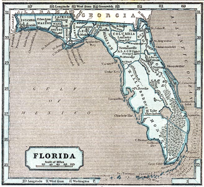
1845,
Sidney E. Morse's 1845 A System of Geography for the Use of Schools map. Of interest, this map is the first school atlas to make use of the cerographic process, also create.
 |
|
Map Credit: Courtesy of the private collection of Roy Winkelman.
|
| Home > Maps > 1800s > Florida 1845 |
Exploring
Florida: A Social Studies Resource for Students and Teachers
Produced by the Florida Center for Instructional
Technology,
College of Education, University of South Florida © 2002.