| Home > Maps > 1800s, II > Florida 1865 | |
|
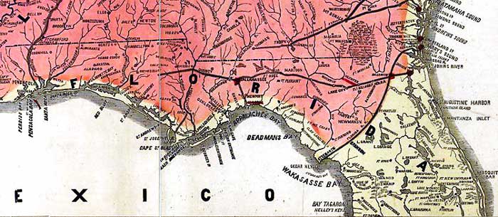
1865,
Lloyd's new military map of the border & southern states [Drawn by Edward S. Hall. Waters & Sons, engravers].
|
|
Map Credit: Courtesy of the Library of Congress, Geography and Map Division.
|
| Home > Maps > 1800s, II > Florida 1865 |
Exploring
Florida: A Social Studies Resource for Students and Teachers
Produced by the Florida Center for Instructional
Technology,
College of Education, University of South Florida © 2002.