| Home > Maps > 1800s, II > Florida 1861 | |
|
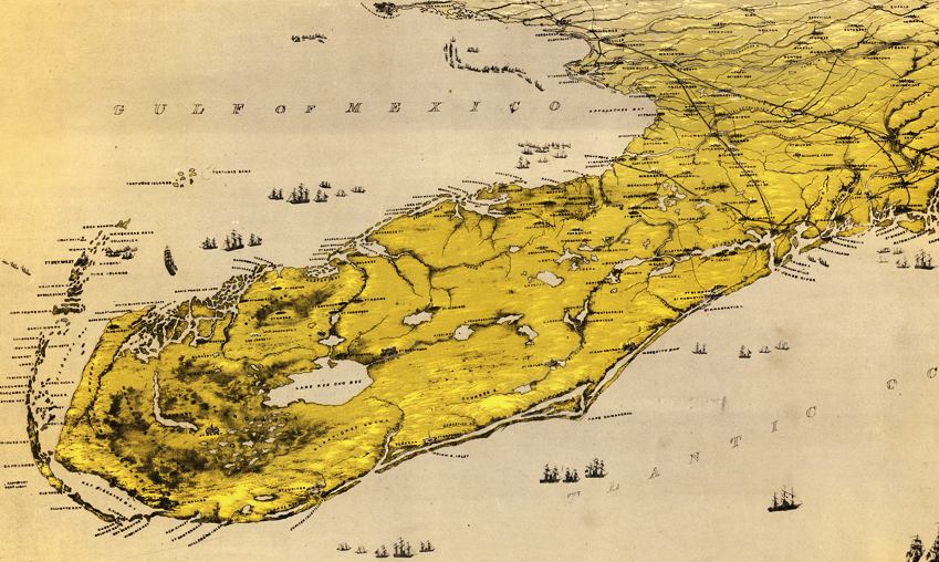
Aerial
view of Florida and part of Georgia and Alabama drawn by John Bachmann
in 1861.
|
|
Map Credit: Courtesy of the Library of Congress, Geography and Map Division.
|
| Home > Maps > 1800s, II > Florida 1861 |
Exploring
Florida: A Social Studies Resource for Students and Teachers
Produced by the Florida Center for Instructional
Technology,
College of Education, University of South Florida © 2002.