| Home > Maps > 1800s, II, II > Florida 1856 | |
|
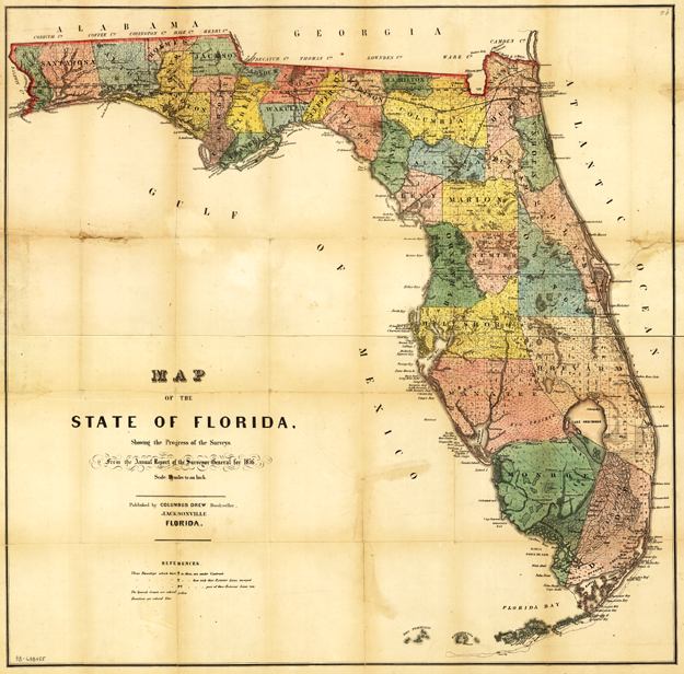
Township
map of Florida showing drainage, cities and towns, roads, trails, and
the locations of two railroad lines. The map is from the annual report
of the Surveyor General in 1856.
|
|
Map Credit: Courtesy of the Library of Congress, Geography and Map Division.
|
| Home > Maps > 1800s, II, II > Florida 1856 |
Exploring
Florida: A Social Studies Resource for Students and Teachers
Produced by the Florida Center for Instructional
Technology,
College of Education, University of South Florida © 2002.