 |
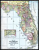
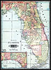
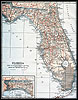
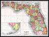
1900,
Mast, Crowell & Kirkpatrick map.  |
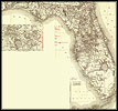 |
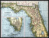
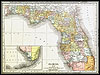
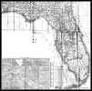
1900,
Rand, McNally & Company map. |
|
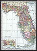
1900, Unrivaled Atlas of the World, published by Philadephia Public
Ledger. |
|
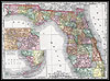
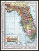
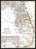
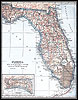
1902, George F. Cram map. |
 |
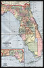
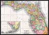
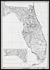
1904,
Tunison's map. |
 |
1907,
Dodd, Meed and Company map.
|
|
1910, Hammond map. |
|
1910, Rand-McNally |
|
1911, Rand, McNally & Company map. |
 |
1914,
Collier map. |
|
1916, National Map Company map. |
|
1916, The New Reference Atlas of the World, published by C. S. Hammond
& Company. |
|
1917, Rand, McNally & Company map. |
|
1920, US Railroad Administration map |
|
1921, L.L. Poates. Co map. |
|
1932, Geological Survey (U.S.), published by Washington. |
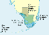 |
A
park map showing the National Parks of south Florida. |
 |
A
map of the Everglades National Park. |
 |
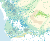
A
map of Whitewater Bay at the Everglades National Park. |
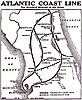 |
The
Atlantic Coast Line: The Standard Railroad of the South. |
 |
A
map of metropolitan areas, counties, and central cities in Florida on
June 30, 1999. |