| Home > Maps > Counties | |
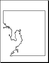
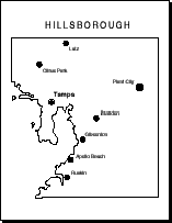
Two styles of black and white outline maps are available for each of Florida's 67 counties. The first style has only the county border indicated. The second style also has the county seat and several of the more important cities indicated.
The maps are also available in both PDF and GIF formats. Use the PDF version if you want to print out the map. The PDF maps will photocopy well and are appropriate for many types of class activities. Use the GIF version if you want to alter the map in a paint program or use the image on a webpage or in a presentation.
Choose the style you wish by clicking on the appropriate button next to the county name.
| Home > Maps > Counties |
Exploring
Florida: A Social Studies Resource for Students and Teachers
Produced by the Florida Center for Instructional
Technology,
College of Education, University of South Florida © 2004.