|
|
|
| FL Maps > County > Dixie |
Click on a thumbnail image to view a full size version of that map.
Dixie County is Florida's 59th county, established on April 25, 1921, from a segment of Lafayette County. It gains its name from a nickname for the South often used in songs. Cross City, named by W. H. Matthis after two public roads that crossed at this spot, is the county seat.
For earlier maps of this area, visit the Lafayette County map gallery.
|
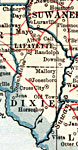
Dixie County,
1921 |
|
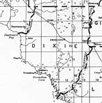
Dixie County,
1932 |
|
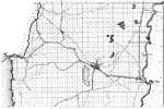
North Dixie,
1936 |
|
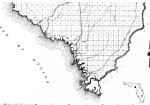
South Dixie,
1936 |
|
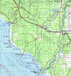
Dixie County,
1975 |
|
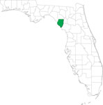
Locater Map of Dixie County,
2008 |

|
Clipart Collection: Dixie County Maps in 50 Colors,
2008 |

|
Plain Frames Collection: Dixie County Maps in 30 Colors,
2008 |
|
Fancy Frames Collection: Dixie County Maps in 30 styles,
2008 |

|
Florida Photo Collection: Dixie County Maps in 30 styles,
2008 |
|
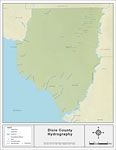
Florida Waterways: Dixie County Outline,
2008 |
|
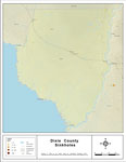
Florida Waterways: Dixie County ,
2008 |
|
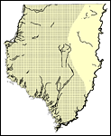
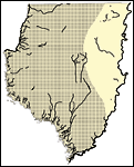
Sinkholes of Dixie County, Florida,
2008 |
|
Florida Waterways: Dixie County Outline without Labels,
2008 |

|
Dixie "Abstract" Style Maps in 30 Styles,
2008 |

|
Dixie County "Fun" Maps in 30 Styles,
2008 |
|
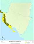
Florida Seagrass: Dixie,
2008 |
|
Dixie County Cities with Labels,
2009 |

|
Dixie County Cities Outline,
2009 |
|
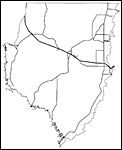
Dixie County Road Network- Black and White,
2009 |
|
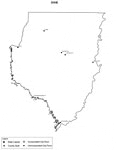
Dixie County Railway Network- Black and White,
2009 |
|
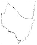
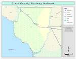
Dixie County Railway Network- Color,
2009 |
|
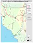
Dixie County Road Network- Color,
2009 |
| FL Maps > County > Dixie |
Maps ETC
is a part of the
Educational Technology Clearinghouse
Produced by the
Florida Center for Instructional Technology
© 2007
College of Education
,
University of South Florida