|
|
|
| FL Maps > County > Hendry |
Click on a thumbnail image to view a full size version of that map.
Hendry County is Florida's 63rd county, established on May 11, 1923, from a segment of Lee County. It gains its name from Francis Asbury Hendry, who was a captain of Confederate calvary troops during the Civil War. He was later known as the "Cattle King of South Florida" because of his large herds of cattle. La Belle, named after Hendry's two daughters, Laura and Belle, is the county seat.
For earlier maps of this area, visit the Lee County map gallery.
|
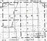
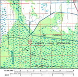
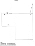
Hendry County,
1932 |
|
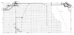
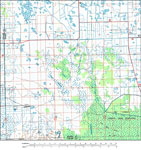
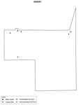
Hendry,
1936 |
|
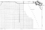
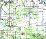
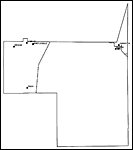
East Hendry,
1936 |
|
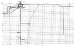
West Hendry,
1936 |
|
Big Cypress Seminole Indian Reservation,
1985 |
|
Southwest Section of Hendry County,
1985 |
|
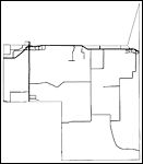
Hendry County, Florida,
1987 |
|
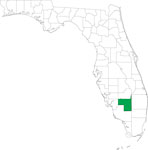
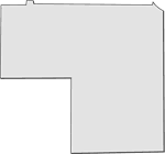
Locater Map of Hendry County,
2008 |
|
Clipart Collection: Hendry County Maps in 50 Colors,
2008 |
|
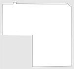
Plain Frames Collection: Hendry County Maps in 30 Colors,
2008 |
|
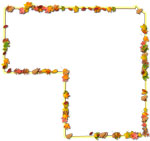
Fancy Frames Collection: Hendry County Maps in 30 styles,
2008 |

|
Florida Photo Collection: Hendry County Maps in 30 styles,
2008 |
|
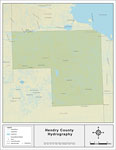
Florida Waterways: Hendry County Outline,
2008 |
|
Florida Waterways: Hendry County ,
2008 |
|
Florida Waterways: Hendry County Outline without Labels,
2008 |

|
Hendry "Abstract" Style Maps in 30 Styles,
2008 |
|
Hendry County "Fun" Maps in 30 Styles,
2008 |
|
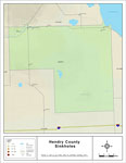
Sinkholes of Hendry County, Florida ,
2008 |
|
Hendry County Cities with Labels,
2009 |
|
Hendry County Cities Outline,
2009 |
|
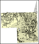
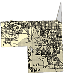
Hendry County Road Network- Black and White,
2009 |
|
Hendry County Railway Network- Black and White,
2009 |
|
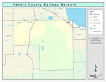
Hendry County Railway Network- Color,
2009 |
|
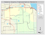
Hendry County Road Network- Color,
2009 |
| FL Maps > County > Hendry |
Maps ETC
is a part of the
Educational Technology Clearinghouse
Produced by the
Florida Center for Instructional Technology
© 2007
College of Education
,
University of South Florida