|
|
|
| FL Maps > County > Lafayette |
Click on a thumbnail image to view a full size version of that map.
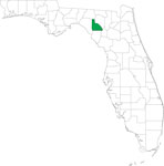
Lafayette County is Florida's 33rd county, established on December 23, 1856, from a segment of Madison County. It gains its name from the Marquis de Lafayette (1757-1834). Although never actually living in Florida, Lafayette championed the cause of American freedom to the French government and served as a major general for the American Revolutionary Army. Mayo is the county seat.
For earlier maps of this area, visit the Madison County map gallery.
|
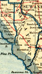
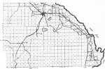
Lafayette County,
1921 |
|
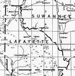
Lafayette County,
1932 |
|
Lafayette,
1936 |
|
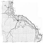
North Lafayette,
1936 |
|
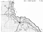
South Lafayette,
1936 |
|
Locater Map of Lafayette County,
2008 |
|
Clipart Collection: Lafayette County Maps in 50 Colors,
2008 |
|
Plain Frames Collection: Lafayette County Maps in 30 Colors,
2008 |

|
Fancy Frames Collection: Lafayette County Maps in 30 styles,
2008 |

|
Florida Photo Collection: Lafayette County Maps in 30 styles,
2008 |
|
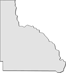
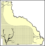
Florida Waterways: Lafayette County Outline,
2008 |
|
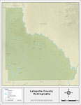
Florida Waterways: Lafayette County ,
2008 |
|
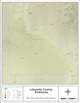
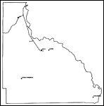
Sinkholes of Lafayette County, Florida ,
2008 |
|
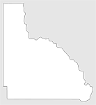
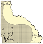
Florida Waterways: Lafayette County Outline without Labels,
2008 |

|
Lafayette "Abstract" Style Maps in 30 Styles,
2008 |

|
Lafayette County "Fun" Maps in 30 Styles,
2008 |
|
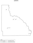
Lafayette County Cities with Labels,
2009 |
|
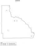
Lafayette County Cities Outline,
2009 |
|
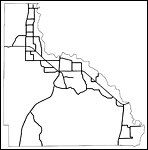
Lafayette County Road Network- Black and White,
2009 |
|
Lafayette County Railway Network- Black and White,
2009 |
|
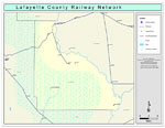
Lafayette County Railway Network- Color,
2009 |
|
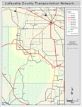
Lafayette County Road Network- Color,
2009 |
| First | Previous |
| FL Maps > County > Lafayette |
Maps ETC
is a part of the
Educational Technology Clearinghouse
Produced by the
Florida Center for Instructional Technology
© 2007
College of Education
,
University of South Florida