|
|
|
| FL Maps > County > Washington |
Click on a thumbnail image to view a full size version of that map.
Washington County is Florida's 12th county, established on December 9th, 1825, from parts of Walton and Jackson Counties. It gains its name from George Washington (1732-1799), the 1st President of the United States (1789-1797). Chipley is the county seat.
For earlier maps of this area, visit the Walton county and Jackson county map galleries.
|
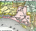
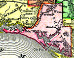
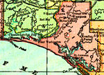
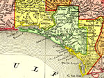
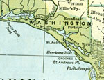
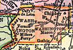
Washington County,
1890 |
|
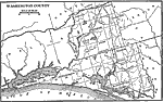
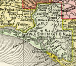
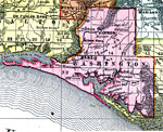
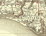
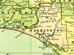
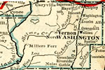
Washington County,
1890 |
|
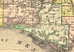
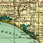
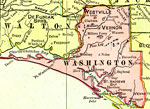
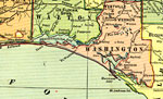
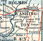
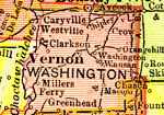
Washington County,
1892 |
|
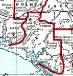
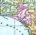
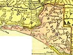
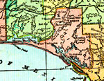
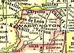
Washington County,
1893 |
|
Washington County,
1894 |
|
Washington County,
1895 |
|
Washington County,
1897 |
|
Washington County,
1898 |
|
Washington County,
1898 |
|
Washington County,
1898 |
|
Washington County,
1899 |
|
Washington County,
1900 |
|
Washington County,
1900 |
|
Florida Railroads - Washington County,
1900 |
|
Washington County,
1902 |
|
Washington County,
1904 |
|
Washington County,
1907 |
|
Washington County,
1909 |

|
Washington County,
1910 |

|
Washington County,
1911 |
|
Washington County,
1914 |
|
Washington County,
1916 |
|
Washington County,
1916 |
|
Washington County,
1917 |
|
Washington County,
1917 |
| First | Previous | Next | Last |
| FL Maps > County > Washington |
Maps ETC
is a part of the
Educational Technology Clearinghouse
Produced by the
Florida Center for Instructional Technology
© 2007
College of Education
,
University of South Florida