|
|
|
| FL Maps > County > Pinellas |
Click on a thumbnail image to view a full size version of that map.
Pinellas County is Florida's 48th county, established on May 23, 1911, from a segment of Hillsborough County. It gains its name from a derivative of the Spanish name for the area Punta Pinal meaning "point of pines." Clearwater, originally named Clear Water Harbor because of a spring located near the Gulf coast that made the water clear and sparkling, is the county seat.
For earlier maps of this area, visit the Hillsborough County map gallery.

|
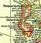
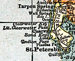
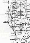
Pinellas County,
1914 |
|
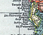
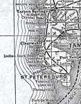
Pinellas County,
1916 |
|
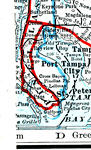
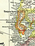
Pinellas County,
1916 |
|
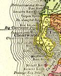
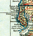
Pinellas County,
1917 |
|
Pinellas County,
1917 |
|
Pinellas County,
1920 |
|
Pinellas County,
1920 |
|
Pinellas County,
1921 |
|
Pinellas County,
1921 |
|
Pinellas County,
1932 |
|
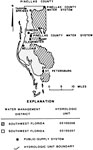
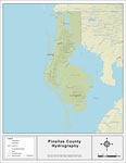
Water Management Districts and Hydrologic Units for Pinellas County,
1981 |
|
Pinellas EPA Superfund Sites,
2008 |
|
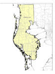
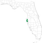
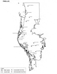
Locater Map of Pinellas County,
2008 |

|
Clipart Collection: Pinellas County Maps in 50 Colors,
2008 |

|
Plain Frames Collection: Pinellas County Maps in 30 Colors,
2008 |

|
Fancy Frames Collection: Pinellas County Maps in 30 styles,
2008 |

|
Florida Photo Collection: Pinellas County Maps in 30 styles,
2008 |
|
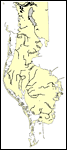
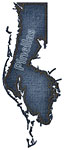
Florida Waterways: Pinellas County Outline,
2008 |
|
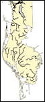
Florida Waterways: Pinellas County ,
2008 |
|
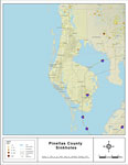
Sinkholes of Pinellas County, Florida ,
2008 |
|
Florida Waterways: Pinellas County Outline without Labels,
2008 |

|
Pinellas "Abstract" Style Maps in 30 Styles,
2008 |
|
Pinellas County "Fun" Maps in 30 Styles,
2008 |
|
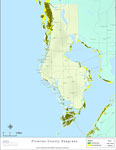
Florida Seagrass: Pinellas,
2008 |
|
Pinellas County Cities with Labels,
2009 |
| Next | Last |
| FL Maps > County > Pinellas |
Maps ETC
is a part of the
Educational Technology Clearinghouse
Produced by the
Florida Center for Instructional Technology
© 2007
College of Education
,
University of South Florida