|
|
|
| FL Maps > County > Washington |
Click on a thumbnail image to view a full size version of that map.
Washington County is Florida's 12th county, established on December 9th, 1825, from parts of Walton and Jackson Counties. It gains its name from George Washington (1732-1799), the 1st President of the United States (1789-1797). Chipley is the county seat.
For earlier maps of this area, visit the Walton county and Jackson county map galleries.
|
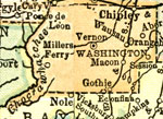
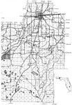
Washington County,
1920 |

|
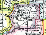
Washington County,
1920 |
|
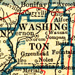
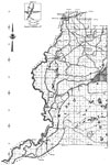
Washington County,
1921 |
|
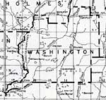
Washington County,
1921 |
|
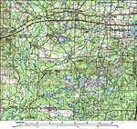
Washington County,
1932 |
|
East Washington,
1940 |
|
West Washington,
1940 |
|
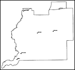
Washington County,
1988 |
|
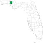
Locater Map of Washington County,
2008 |
|
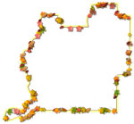
Clipart Collection: Washington County Maps in 50 Colors,
2008 |
|
Plain Frames Collection: Washington County Maps in 30 Colors,
2008 |
|
Fancy Frames Collection: Washington County Maps in 30 styles,
2008 |

|
Florida Photo Collection: Washington County Maps in 30 styles,
2008 |
|
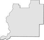
Florida Waterways: Washington County Outline,
2008 |
|
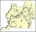
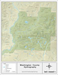
Florida Waterways: Washington County,
2008 |
|
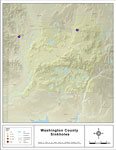
Sinkholes of Washington County, Florida ,
2008 |
|
Washington "Abstract" Style Maps in 30 Styles,
2008 |
|
Washington County "Fun" Maps in 30 Styles,
2008 |
|
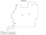
Washington County Cities with Labels,
2009 |
|
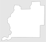
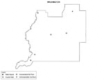
Washington County Cities Outline,
2009 |
|
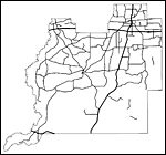
Washington County Road Network- Black and White,
2009 |
|
Washington County Railway Network- Black and White,
2009 |
|
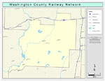
Washington County Railway Network- Color,
2009 |
|
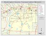
Washington County Road Network- Color,
2009 |
| First | Previous |
| FL Maps > County > Washington |
Maps ETC
is a part of the
Educational Technology Clearinghouse
Produced by the
Florida Center for Instructional Technology
© 2007
College of Education
,
University of South Florida