|
|
|
| FL Maps > Local > Bay |
Click on a thumbnail image to view a full size version of that map.
|
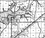
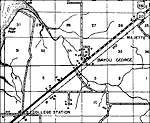
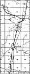
Bayou George,
1936 |
|
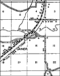
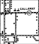
Callaway,
1936 |
|
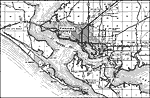
Cromanton,
1936 |
|
Farmdale,
1936 |
|
Fountain,
1936 |
|
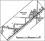
Highland City,
1936 |
|
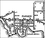
Parker,
1936
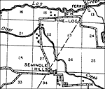
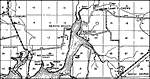
Seminole Hills,
1936 |
|
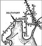
Southport,
1936 |
|
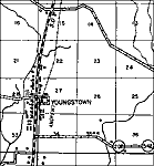
Youngstown,
1936 |
|
Lynn Haven,
1943 |
|
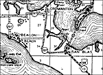
Beacon Beach, Fla,
1943 |
|
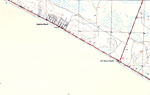
Allanton, Florida,
1943 |
|
Laguna Beach, Florida,
1943 |
|
Florida Beach and Betty Lou Beach, Florida,
1943 |
|
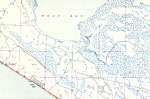
Panama City Beach, Florida,
1943 |
|
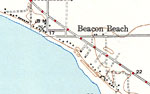
Beacon Beach,
1943 |
|
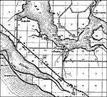
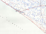
Laguna Beach,
1943 |
| Next | Last |
| FL Maps > Local > Bay |
Maps ETC
is a part of the
Educational Technology Clearinghouse
Produced by the
Florida Center for Instructional Technology
© 2007
College of Education
,
University of South Florida