|
|
|
| FL Maps > Local > Broward |
Click on a thumbnail image to view a full size version of that map.
|
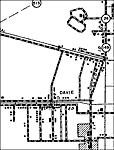
Davie,
1940 |
|
Deerfield Beach,
1940
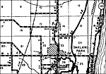
Hallandale,
1940 |
|
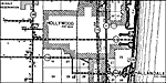
Oakland Park,
1940 |
|
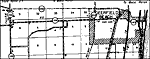
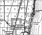
Pompano,
1940 |
|
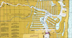
Fort Lauderdale, Port Everglades,
1974 |
|
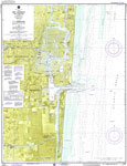
Fort Lauderdale,
1974 |
|
Fort Lauderdale,
1974 |
|
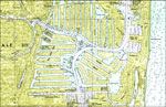
Port Laudania,
1974 |
|
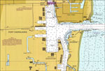
Port Everglades,
1974 |
|
Port Everglades Quadrangle,
1986 |
|
Fort Lauderdale, Port Everglades,
1999 |
|
Fort Lauderdale,
1999 |
|
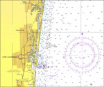
Port Everglades,
1999 |
| FL Maps > Local > Broward |
Maps ETC
is a part of the
Educational Technology Clearinghouse
Produced by the
Florida Center for Instructional Technology
© 2007
College of Education
,
University of South Florida