|
|
|
| FL Maps > Local > Columbia |
Click on a thumbnail image to view a full size version of that map.
|
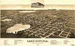
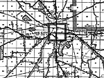
Panoramic-view of Lake City,
1885 |
|
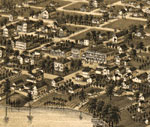
Detail - Panoramic-view of Lake City,
1885 |
|
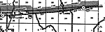
Benton,
1936
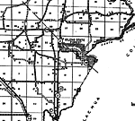
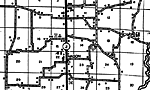
Columbia,
1936 |
|
Ellisville,
1936 |
|
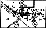
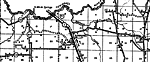
Fort White,
1936 |
|
Fort White 2,
1936 |
|
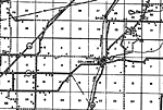
Lake City,
1936 |
|
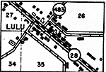
Lulu,
1936 |
|
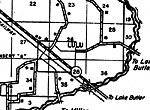
Lulu 2,
1936 |
|
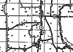
Mason,
1936 |
|
McClosky,
1936
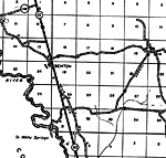
Mikesville,
1936 |
|
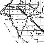
Suwannee Valley,
1936 |
|
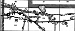
Watertown,
1936 |
|
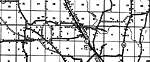
Winfield,
1936 |
| FL Maps > Local > Columbia |
Maps ETC
is a part of the
Educational Technology Clearinghouse
Produced by the
Florida Center for Instructional Technology
© 2007
College of Education
,
University of South Florida