|
|
|
| FL Maps > Local > Escambia |
Click on a thumbnail image to view a full size version of that map.
|
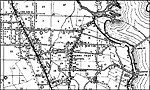
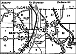
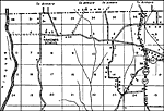
Century 2,
1936 |
|
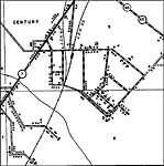
Century 3,
1936 |
|
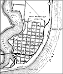
East Pensacola,
1936
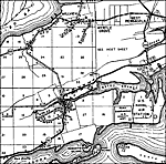
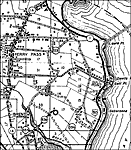
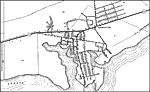
Ferry Pass,
1936 |
|
Ferry Pass 2,
1936 |
|
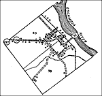
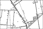
Golding,
1936 |
|
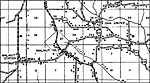
Gonzalez,
1936 |
|
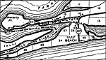
Gulf Beach,
1936 |
|
Nakomis School,
1936 |
|
Oak Grove,
1936 |
|
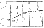
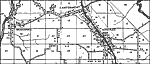
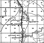
Quintette,
1936 |
|
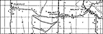
Walnut Station and Walnut Hill,
1936 |
|
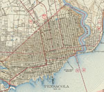
Warrington,
1936
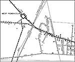
West Pensacola,
1936 |
|
West Pensacola 2,
1936 |
|
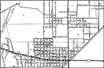
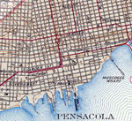
Pensacola,
1942 |

|
East Pensacola,
1942 |
|
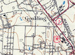
Goulding,
1942 |
|
Pensacola Waterfront,
1942 |
|
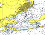
Pensacola and Pensacola Bay,
1975 |
|
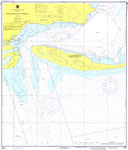
Pensacola Bay Entrance,
1976 |
|
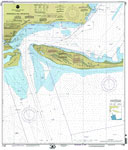
Pensacola Bay Entrance,
2000 |
| First | Previous | Next | Last |
| FL Maps > Local > Escambia |
Maps ETC
is a part of the
Educational Technology Clearinghouse
Produced by the
Florida Center for Instructional Technology
© 2007
College of Education
,
University of South Florida