|
|
|
| FL Maps > Local > Gadsden |
Click on a thumbnail image to view a full size version of that map.
|
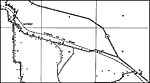
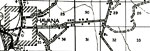
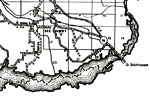
Midway Insert,
1936 |
|
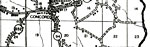
Concord,
1936 |
|
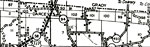
Darcey,
1936 |
|
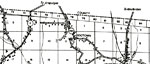
Dogtown,
1936 |
|
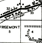
Freemont,
1936 |
|
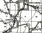
Greensboro & Juniper,
1936 |
|
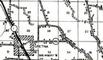
Gretna,
1936 |
|
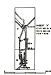
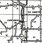
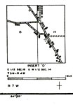
Hardaway Insert,
1936 |
|
Hardaway,
1936 |
|
Havana,
1936 |
|
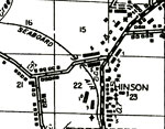
Hinson,
1936 |
|
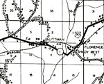
Littman, Florence & Shady Rest,
1936 |
|
Midway,
1936 |
|
Mount Pleasant,
1936 |
|
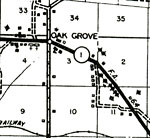
Oak Grove,
1936 |
|
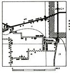
Quincy Insert,
1936 |
|
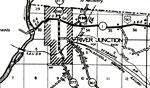
River Junction,
1936 |
|
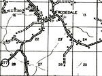
Rosedale,
1936 |
|
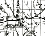
Santa Clara,
1936 |
|
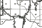
Sawdust,
1936 |
|
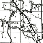
Scotland,
1936 |
|
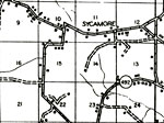
Sycamore,
1936 |
| FL Maps > Local > Gadsden |
Maps ETC
is a part of the
Educational Technology Clearinghouse
Produced by the
Florida Center for Instructional Technology
© 2007
College of Education
,
University of South Florida