|
|
|
| FL Maps > Local > Holmes |
Click on a thumbnail image to view a full size version of that map.
|
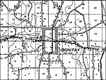
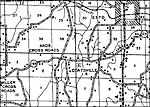
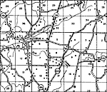
Bonifay,
1936 |
|
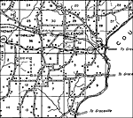
Browns,
1936
Eleanor,
1936 |
|
Esto,
1936 |
|
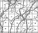
Izagora,
1936 |
|
Leonia,
1936 |
|
Linseys,
1936 |
|
Noma,
1936 |
|
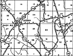
Paulis,
1936 |
|
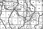
Ponce De Leon,
1936 |
|
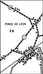
Ponce De Leon 2,
1936
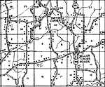
Smiths Corner,
1936 |
|
Smyrna,
1936 |
|
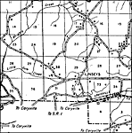
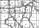
Sweet Gum Head,
1936 |
|
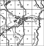
Westville,
1936 |
| FL Maps > Local > Holmes |
Maps ETC
is a part of the
Educational Technology Clearinghouse
Produced by the
Florida Center for Instructional Technology
© 2007
College of Education
,
University of South Florida