|
|
|
| FL Maps > Local > Indian River |
Click on a thumbnail image to view a full size version of that map.
|
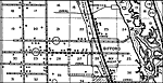
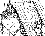
Roseland and Sebastion Inlet,
1932 |
|
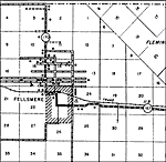
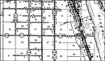
Fellsmere,
1936 |
|
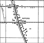
Gifford,
1936
Gifford 2,
1936 |
|
Oslo,
1936 |
|
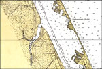
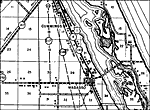
Sebastian,
1936 |
|
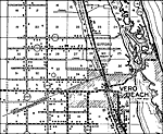
Vero Beach,
1936 |
|
Wabasso,
1936 |
|
Winter Beach,
1936 |
|
Winter Beach 2,
1936 |
|
Yeehaw,
1936 |
| FL Maps > Local > Indian River |
Maps ETC
is a part of the
Educational Technology Clearinghouse
Produced by the
Florida Center for Instructional Technology
© 2007
College of Education
,
University of South Florida