|
|
|
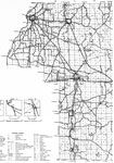
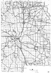
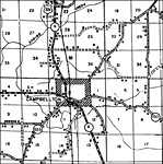
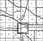
| FL Maps > Local > Jackson |
Click on a thumbnail image to view a full size version of that map.
|
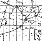
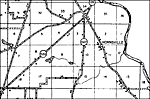
Alford,
1940 |
|
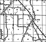
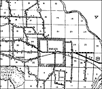
Bascom,
1940 |
|
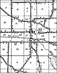
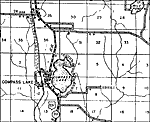
Compass Lake,
1940 |
|
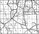
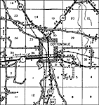
Cottondale,
1940 |
|
Greenwood,
1940 |
|
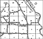
Haynes,
1940 |
|
Hornsville,
1940 |
|
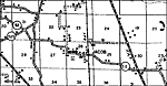
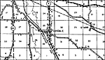
Jacob,
1940 |
|
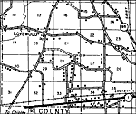
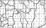
Lovewood,
1940 |
|
Malone,
1940 |
|
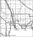
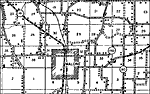
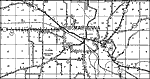
Marianna,
1940 |
|
Oakdale,
1940 |
|
Shady Grove,
1940 |
|
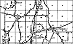
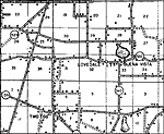
Steele City,
1940 |
|
Two Egg,
1940 |
| FL Maps > Local > Jackson |
Maps ETC
is a part of the
Educational Technology Clearinghouse
Produced by the
Florida Center for Instructional Technology
© 2007
College of Education
,
University of South Florida