|
|
|
| FL Maps > Local > Jefferson |
Click on a thumbnail image to view a full size version of that map.
|
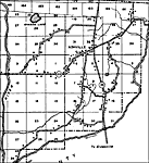
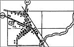
Ashville,
1936 |
|
Aucilla,
1936 |
|
Aucilla 2,
1936 |
|
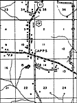
Capps,
1936 |
|
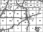
Dills,
1936 |
|
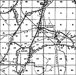
Drifton,
1936 |
|
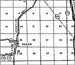
Fanlew,
1936 |
|
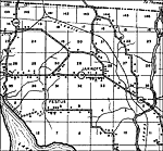
Jarrott,
1936 |
|
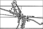
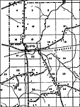
Lamont,
1936 |
|
Loyd,
1936 |
|
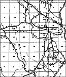
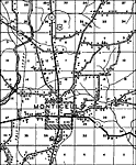
Monticello,
1936 |
|
Wacissa,
1936 |
|
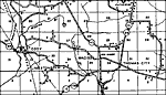
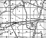
Waukeenah,
1936 |
| FL Maps > Local > Jefferson |
Maps ETC
is a part of the
Educational Technology Clearinghouse
Produced by the
Florida Center for Instructional Technology
© 2007
College of Education
,
University of South Florida