|
|
|
| FL Maps > Local > Madison |
Click on a thumbnail image to view a full size version of that map.
|
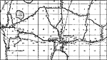
Cherry Lake,
1936 |
|
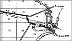
Ellaville,
1936
Greenville,
1936 |
|
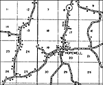
Hopewell,
1936 |
|
Lee,
1936 |
|
Lovett,
1936 |
|
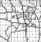
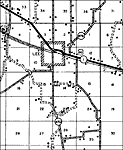
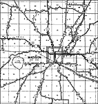
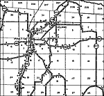
Madison,
1936 |
|
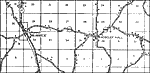
Pinetta,
1936
Sirmans,
1936 |
| FL Maps > Local > Madison |
Maps ETC
is a part of the
Educational Technology Clearinghouse
Produced by the
Florida Center for Instructional Technology
© 2007
College of Education
,
University of South Florida