|
|
|
| FL Maps > Local > Santa Rosa |
Click on a thumbnail image to view a full size version of that map.
|
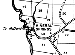
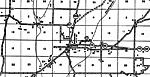
Mineral Springs,
1940 |
|
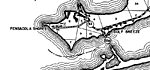
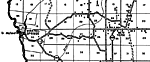
Pensacola Shores and Gulf Breeze,
1940 |
|
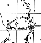
Santa Maria,
1940 |
|
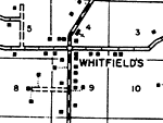
Whitfield's,
1940 |
|
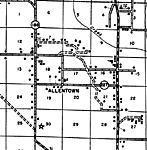
Allentown,
1940 |
|
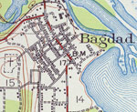
Bagdad,
1940 |
|
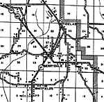
Berrydale,
1940 |
|
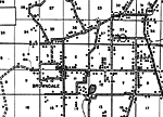
Browndale,
1940 |
|
Mt. Carmel,
1940 |
|
Chumuckla,
1940 |
|
Floridatown,
1940 |
|
Gulf Breeze,
1940 |
|
Harold,
1940 |
|
Holly,
1940 |
|
Indian Ford,
1940 |
|
Jay,
1940 |
|
McClellan,
1940 |
|
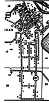
Milton Insert,
1940 |
|
Milton,
1940 |
|
Mulat,
1940 |
|
Munson,
1940 |
|
New York,
1940 |
|
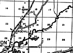
Roeville,
1940 |
|
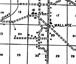
Wallace,
1940 |
|
Bagdad,
1941 |
| Next | Last |
| FL Maps > Local > Santa Rosa |
Maps ETC
is a part of the
Educational Technology Clearinghouse
Produced by the
Florida Center for Instructional Technology
© 2007
College of Education
,
University of South Florida