|
|
|
| FL Maps > Local > Washington |
Click on a thumbnail image to view a full size version of that map.
|
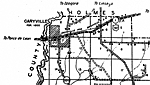
Caryville,
1940 |
|
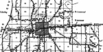
Chipley,
1940 |
|
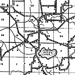
Cowford,
1940 |
|
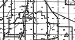
Crow,
1940 |
|
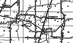
Everett,
1940 |
|
Hinsons Cross Roads,
1940 |
|
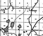
Macom,
1940 |
|
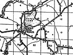
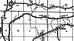
Norum,
1940 |
|
Orange Hill,
1940 |
|
Redhead,
1940 |
|
Riverside,
1940 |
|
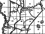
Millers Ferry,
1940 |
|
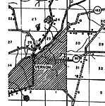
Vernon,
1940 |
|
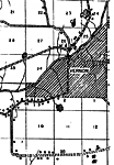
Vernon 2,
1940 |
|
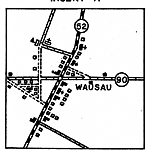
Wausau,
1940 |
|
Wausau Insert,
1940 |
| FL Maps > Local > Washington |
Maps ETC
is a part of the
Educational Technology Clearinghouse
Produced by the
Florida Center for Instructional Technology
© 2007
College of Education
,
University of South Florida