|
|
|
| FL Maps > Local > Franklin |
Click on a thumbnail image to view a full size version of that map.
|
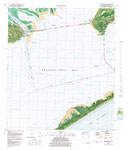
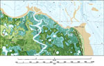
Apalachicola,
1982 |
|
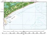
Eastpoint,
1982 |
|
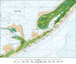
Saint George Island State Park,
1982 |
|
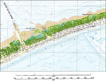
Saint George Island,
1982 |

|
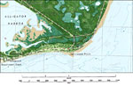
Cash Bayou,
1982 |
|
Big Blackjack Landing,
1982 |
|
Lanark Village,
1982 |
|
McIntyre,
1982 |
|
St. James, Florida,
1982 |
|
Bald Point,
1982 |
|
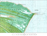
Lighthouse Point Detail,
1982 |
|
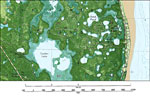
St. James Island,
1982 |
|
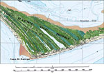
Cape St. George Detail,
1982 |
|
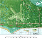
Apalachicola Airport,
1982 |
|
St. Vincent National Wildlife Refuge,
1982 |
|
Tilton,
1982 |
|
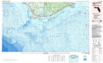
Apalachicola: Florida,
1988 |
| First | Previous |
| FL Maps > Local > Franklin |
Maps ETC
is a part of the
Educational Technology Clearinghouse
Produced by the
Florida Center for Instructional Technology
© 2007
College of Education
,
University of South Florida