|
|
|
| FL Maps > Local > Osceola |
Click on a thumbnail image to view a full size version of that map.
|
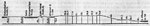
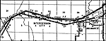
Section of the Tohopekaliga Summit Level,
1884 |
|
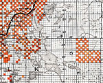
Osceola County - North portion,
1888 |
|
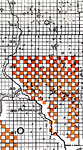
Osceola County - South portion,
1888 |
|
Campbell City,
1936
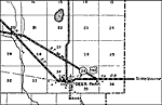
Deer Park,
1936 |
|
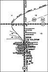
Holopaw,
1936 |
|
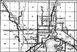
Kissimmee,
1936 |
|
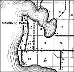
Kissimmee Park,
1936 |
|
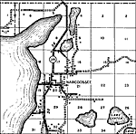
Narcoossee,
1936 |
|
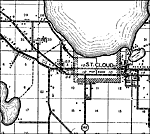
St. Cloud,
1936 |
| FL Maps > Local > Osceola |
Maps ETC
is a part of the
Educational Technology Clearinghouse
Produced by the
Florida Center for Instructional Technology
© 2007
College of Education
,
University of South Florida