|
|
|
| FL Maps > County > Baker |
Click on a thumbnail image to view a full size version of that map.
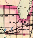
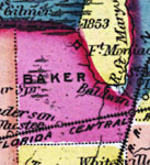
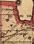
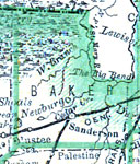
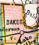
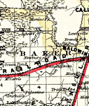
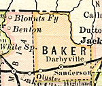
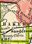
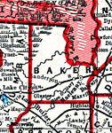
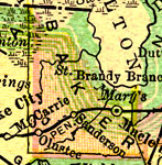
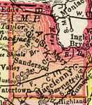
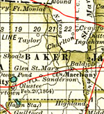
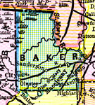
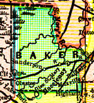
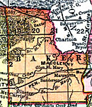
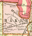
Baker County is Florida's 38th county, established on February 8, 1861, from a segment of New River County (Bradford County). It gains its name from James McNair Baker, a Judge of the Fourth Judicial District and a Confederate Senator. Macclenny is the county seat. Of historical significance, a famous Civil War battle took place just to the east of the town of Olustee on February 20, 1864. This particular battle was a Confederate victory that prevented the capture of the state capital.
For earlier maps of this area, visit the New River County (Bradford County) map gallery.
|
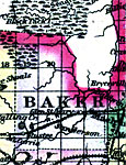
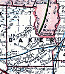
Baker County,
1871 |
|
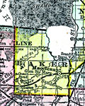
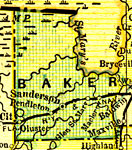
Baker County,
1873 |
|
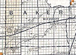
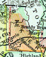
Baker County,
1874 |
|
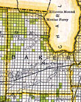
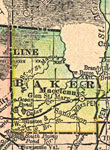
Baker County,
1880 |
|
Baker County,
1880 |
|
Baker County,
1882 |
|
Baker County,
1883 |
|
Baker County,
1886 |
|
Baker County,
1886 |
|
Baker County,
1888 |
|
Baker County,
1888 |
|
Baker County,
1888 |
|
Baker County,
1889 |
|
Baker County,
1890 |
|
Baker County,
1890 |

|
Baker County,
1890 |
|
Baker County,
1892 |
|
Baker County,
1893 |
|
Baker County,
1894 |
|
Baker County,
1895 |
|
Baker County,
1897 |
|
Baker County,
1898 |
|
Baker County,
1898 |
|
Baker County,
1898 |
|
Baker County,
1899 |
| Next | Last |
| FL Maps > County > Baker |
Maps ETC
is a part of the
Educational Technology Clearinghouse
Produced by the
Florida Center for Instructional Technology
© 2007
College of Education
,
University of South Florida